Cycling in The Dalles
Cycling Routes

Riverfront Trail
8 miles | Easy | Fully paved | No permit required
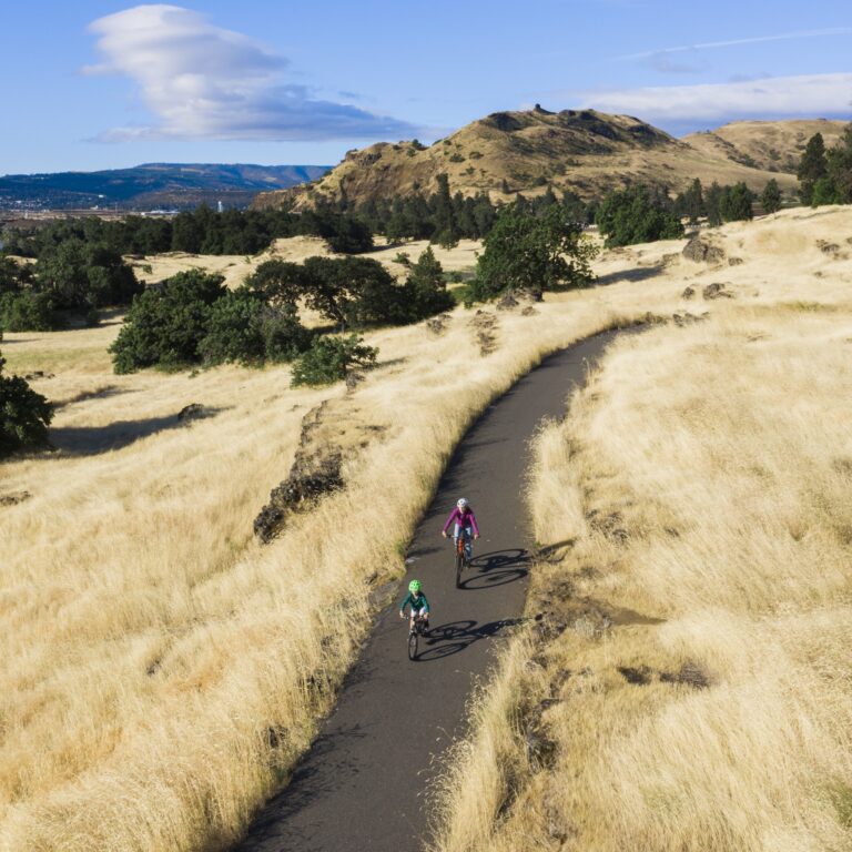
Follow the scenic Riverfront Trail along the mighty Columbia River at its iconic “bend”—where the river shifts dramatically from an east-west to a north-south flow. This 8-mile, fully paved trail is perfect for walkers, joggers, cyclists, and visitors with mobility needs.
With stunning views, easy access, and connections to several parks and landmarks, the Riverfront Trail is a peaceful and picturesque way to explore The Dalles at your own pace.

Cherry Heights Trail
16.7 miles | Moderately Difficult | 1,359 ft Elevation Gain | No permit required
This scenic 16.7-mile route winds through rolling hills blanketed with cherry orchards, offering breathtaking views of The Dalles, the Columbia River, and the surrounding countryside. Starting at Lewis and Clark Festival Park, the trail climbs steadily, rewarding hikers and cyclists with panoramic vistas along the way.
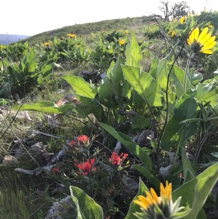
A highlight of the route is a stop at the Columbia Land Trust, where you can hike the 2.3-mile Mill Creek Ridge Trail. This ridge is not only rich in wildlife and native flora, but also offers incredible views of Mount Hood and Mount Adams—a picture-perfect payoff for your efforts.

Long Hollow Loop
66.1 miles | Difficult | Gravel route | No permit required
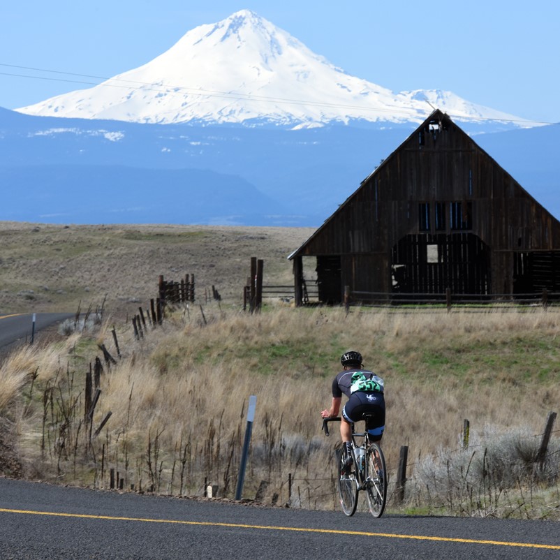
For experienced riders seeking a true challenge, the Long Hollow Loop delivers an epic 66.1-mile gravel grind starting and ending at Lewis and Clark Festival Park. This demanding loop winds through rugged terrain, sweeping landscapes, and quiet backroads, making it a favorite among serious cyclists and gravel enthusiasts.
About halfway through the loop, you’ll hit Easton Canyon Road, which cuts through a vast flat grassland—a beautiful but exposed stretch.
⚠️ Important: Use extreme caution on this portion during peak harvest season (June–August), as large farm equipment and dusty conditions can make travel more hazardous.
Bring plenty of water, check the weather, and be prepared for a long, rewarding ride through some of the most scenic countryside in the region.
