
Outdoor Recreation Map
Explore The Dalles Outdoor Adventures!
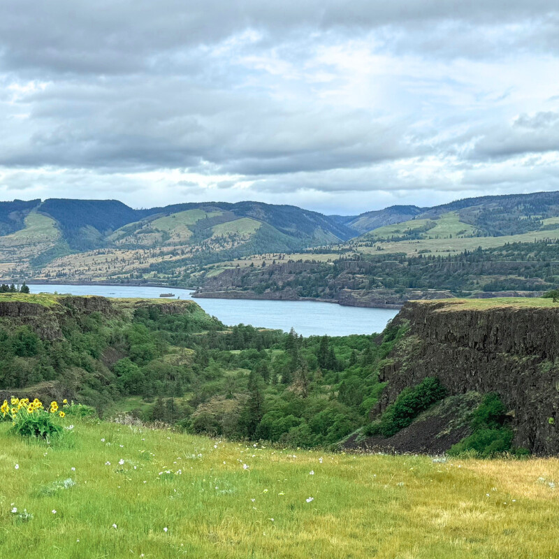
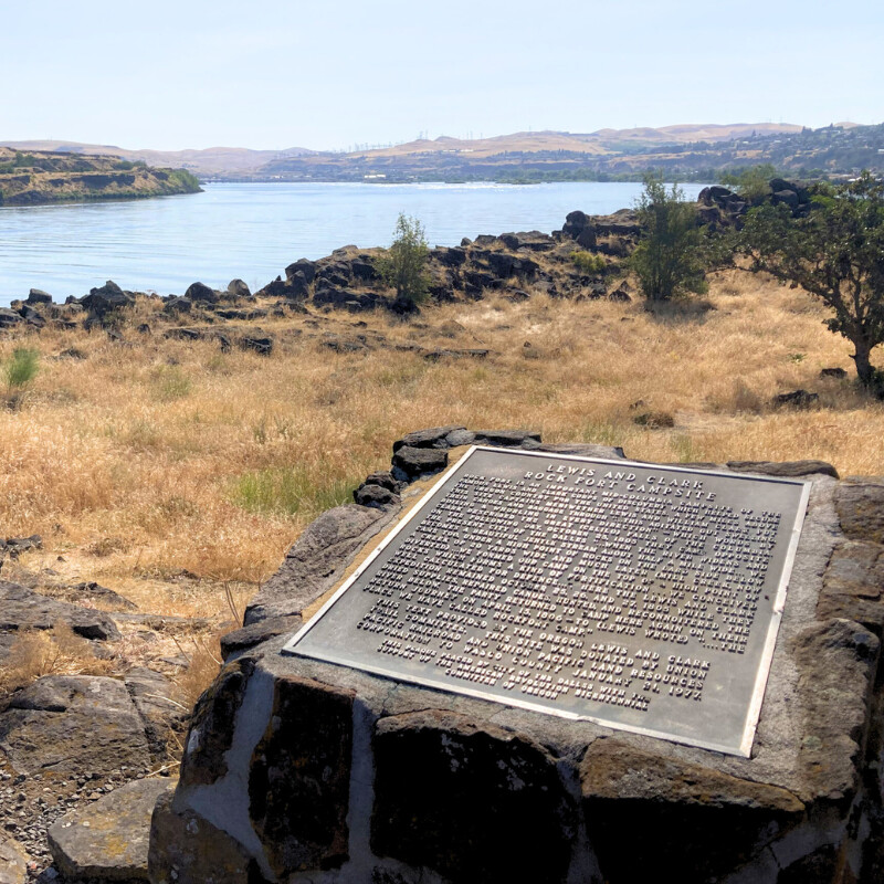
Come explore all The Dalles has to offer in outdoor recreation! Before you head out, check out Ready Set GOrge for the latest updates on recreation in the gorge, including reservations, transportation, closures, and potential hazards.


Remember to respect and take care of the areas you visit. Follow all the rules and policies, and be sure to practice Leave No Trace principles to keep our natural spaces beautiful.
Important Notice: By using this map, you acknowledge and agree to the terms of our Liability Waiver and Disclaimer available below.
Legend

How to Use This Map
Explore the best outdoor recreation The Dalles has to offer with our interactive map! Here’s how you can make the most of it:
How to View the Legend:
To view the map legend, click on the icon at the top left corner of the map. This will open the legend where you can see all the points of interest and routes included on the map.
How to Deactivate Layers:
Check and uncheck boxes next to each layer to hide and display different layers.
Explore Points of Interest:
Zoom in and out to explore various locations marked on the map. Click on each point or line to view photos and details.
How to Share or Expand the Map:
Use the icons in the upper right-hand corner of the map to share the map or to expand the map for a better view.


Additional Sources
To ensure the accuracy and comprehensiveness of the information provided in this map, we consulted a variety of sources. While many links are directly included in the map for specific entries, the following sources were used extensively for entire layers, multiple entries, or were otherwise difficult to add individually. Below is a detailed list of these sources, categorized by the type of activity:
- Alan Eagy Email with Family-Friendly Hikes (Chamber Resource)
- Description: Recommendations for family-friendly hikes provided by Alan Eagy via email.
- All Together The Dalles Walking Tour: Otocast
- Description: An interactive walking tour of historic buildings in The Dalles.
- All Together The Dalles | The Dalles Art Center
- Description: Information on historic buildings and the All Together The Dalles Walking Tour provided by The Dalles Art Center.
- AllTrails: Trail Guides & Maps for Hiking, Camping, and Running
- Description: A widely-used resource for trail guides and maps.
- Best Hikes With Kids: Oregon by Bonnie Henderson & Zach Urness
- Description: A guidebook focusing on family-friendly hikes in Oregon.
- Birding - Explore The Dalles
- Description: Local birdwatching spots and resources.
- Birding Locations Archive - East Cascades Audubon Society
- Description: An archive of birding locations curated by the East Cascades Audubon Society.
- Curious Gorge 4th Edition by Scott Cook
- Description: A detailed guidebook to the Columbia Gorge, providing information on various trails.
- Friends of the Columbia Gorge Find a Hike
- Description: A comprehensive guide to hikes in the Columbia Gorge area.
- Google Maps
- Description: Used for finding, verifying, and mapping locations.
- Mural Map
- Description: A paper map of murals available at The Dalles Area Chamber of Commerce.
- Oregon Hikers Field Guide
- Description: A comprehensive guide to hiking in Oregon.
- Scenic Bikeways (Chamber Resource)
- Description: Information on scenic bikeways.
- The Dalles Roads - Cycling the Gorge
- Description: Information on cycling routes and roads in The Dalles area.
Liability Waiver and Disclaimer
Respect and Responsibility: Users of this map are hereby advised to act respectfully and conscientiously in all recreational activities. Compliance with all applicable rules, regulations, and policies governing the areas visited is mandatory. Users must respect and avoid damaging or misusing these outdoor recreation areas in any manner.
Use at Your Own Risk: This map is provided solely as an informational resource. The use of this map and participation in outdoor activities indicated herein is undertaken at the user's own risk. Outdoor recreation involves inherent risks, and users are responsible for taking appropriate precautions.
Accuracy and Completeness: The information contained in this map is believed to be accurate at the time of creation; however, it may contain inaccuracies, errors, or omissions. The information is not guaranteed to be up-to-date, and conditions may have changed since the map was produced. Users are encouraged to verify the information independently.
No Comprehensive Coverage: This map does not claim to include all possible outdoor recreation opportunities within the region. There may be additional areas not depicted or listed.
Assumption of Risk: By utilizing this map, users acknowledge and voluntarily assume all risks associated with outdoor recreational activities, including but not limited to the risk of personal injury, property damage, or encounters with wildlife.
Limitation of Liability: The creators, contributors, and distributors of this map shall not be held liable for any injuries, damages, or losses arising from the use of this map or participation in any activities listed herein. Users agree to release, indemnify, and hold harmless the creators, contributors, and distributors from any and all claims, liabilities, or expenses.
Compliance with Laws: Users are solely responsible for ensuring their activities are in compliance with all local, state, and federal laws and regulations pertaining to outdoor recreation. Non-compliance may result in legal consequences, including but not limited to fines and penalties.
Emergency Preparedness: Users are responsible for their own safety and emergency preparedness. This includes but is not limited to carrying appropriate gear, having sufficient knowledge of the area, and being prepared for unforeseen events or emergencies.
Third-Party Actions: The creators, contributors, and distributors of this map are not responsible for the actions or conduct of third parties encountered during the use of the recreational areas depicted in the map.
Respect for Nature and Property: Users are urged to practice Leave No Trace principles, respect private property, and ensure that their activities do not harm the environment or disturb wildlife.
By using this map, you acknowledge and agree to the terms and conditions set forth above.